0455213381
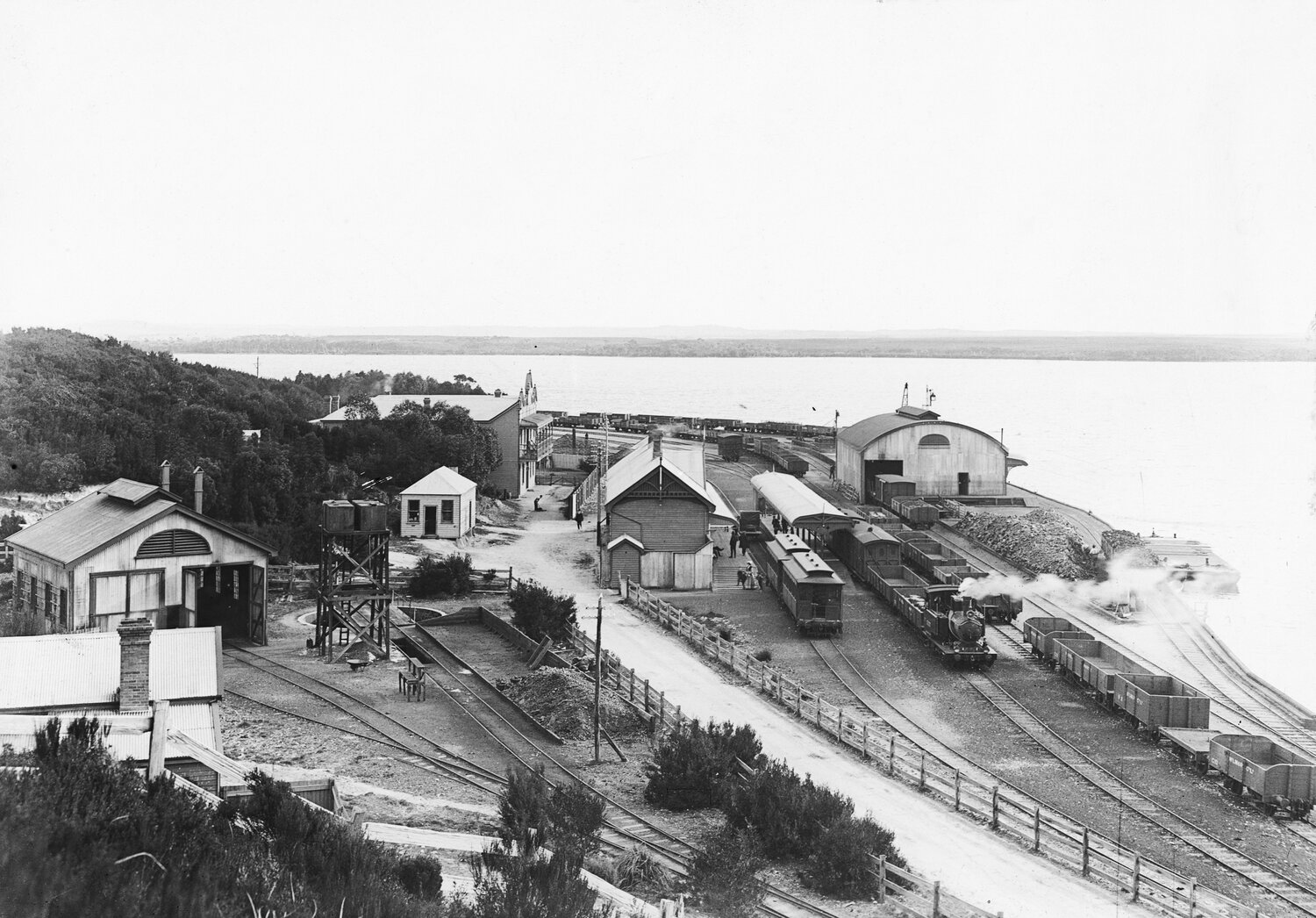
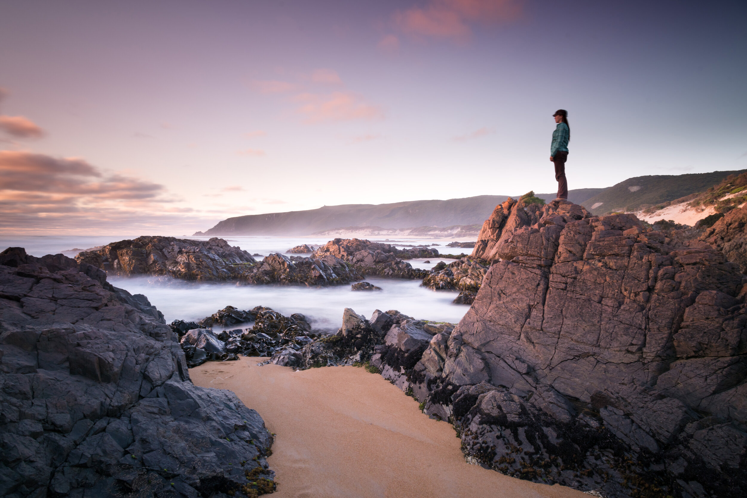
Looking over Trial Harbour

wilds

Wild at Heart

The West Coast of Tasmania was born right off the back of the pioneering prospector. The discovery of Gold, Silver, Tin, Lead and Copper in the 1880s and 1890s paved the way for the mining communities of Queenstown, Zeehan, Rosebery, Tullah and Strahan.


Strahan history

A Little History

These western towns have all produced their fair share of local identities; inspiring pioneers and iconic characters; all who braved the rain, hail and snow for a life on the wild West Coast.

This land of riches and beauty, surrounded by rugged mountains, cascading waterfalls and vast, button grass moorlands attracted the most desperate of men, enduring of travellers and the most determined of women.

Pictured is Regatta Point (within walking distance from GG)and was the hub of Strahan’s mining until the 1960s.

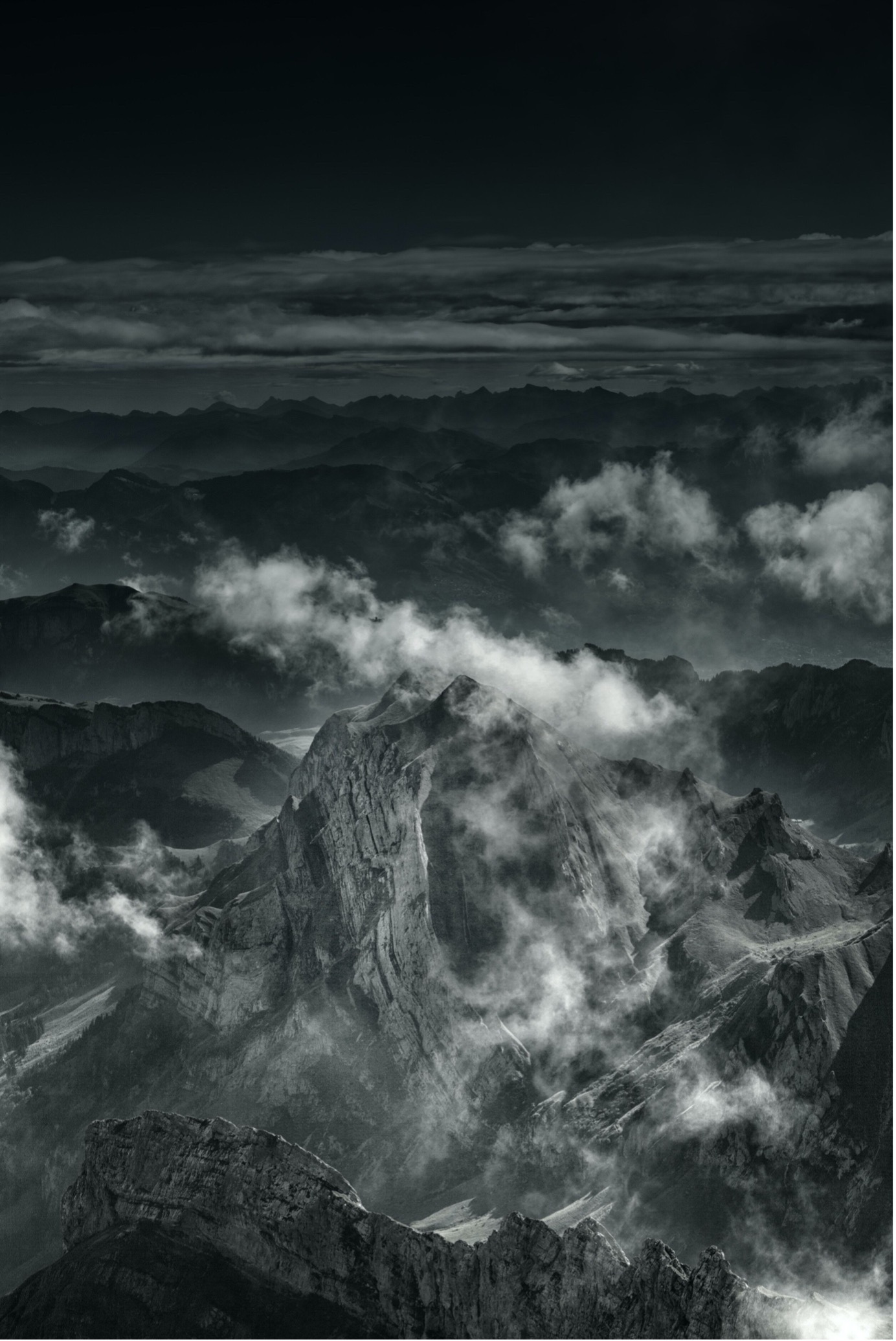
West Coast Mountains

Wild Mountains

An ancient beauty, the rocks that underlie the rugged beauty of the Tasmanian Wilderness World Heritage Area (WHA), including the Macquarie Harbour and Gordon River region, are ancient. The oldest rocks date back a thousand million years and range in physical nature from the very hard quartzites and dolerites through to highly soluble limestones and readily eroded sandstones and gravels. The complexity of the geology contributes to the WHA values of the region. Sandstones, siltstones and conglomerates, dating back to the Ordovician period (505–433 million years ago), contain a variety of ancient marine fossils. These reveal a legacy from a distant past when what we now call Tasmania was beneath a shallow sea. During the Cambrian period (505–570 million years ago) a line of volcanoes, known as the Mt Read Volcanic Belt, began erupting in an inundated region to the west of where Macquarie Harbour now lies. It was under these conditions that the ore bodies extracted from the west coast ranges were initially formed.

Image

During the Jurassic, some 170 million years ago, tectonic activity associated with the fragmentation of the ‘supercontinent’ Gondwana and subsequent faulting laid the foundations of the dolerite mountains typical of much of the WHA. In the Macquarie Harbour region, faulting occurred during the Tertiary period (65–2 million years ago), resulting in the formation of the Macquarie Harbour graben. This downfaulted block is the most spectacular example in the State and reaches a depth of 600 m. Much of it is now filled by Tertiary sediments. The Ice Age In many respects today’s landscape is a legacy of the Ice Age. Broad, U-shaped valleys, such as the Surprise Valley along the Lyell Highway, and highland tarns and cirques all owe their characteristic appearance to the action of glaciers. Like massive rasps across the landscape, glaciers have resulted in the dislodgment of vast amounts of gravel debris from the headwaters of the Franklin and Gordon rivers. Much of this sediment was subsequently washed downstream.

Tasmania has undergone at least three major glaciations throughout the Pleistocene (2 million–10 000 years ago). During the last Ice Age, from 100 000–10 000 years ago, global sea levels were about 100 metres lower than present. Macquarie Harbour as we know it today would not have existed. Instead, the Gordon and King rivers would have flowed to a coastline some distance seaward of the present day coast. With the end of the Ice Age, sea levels rose, stabilising to their present level around 6000 years ago. This resulted in the flooding of the Gordon and King River valleys.

Gordon River

Wild rivers

Rising from Lake Richmond on the flanks of the King William Range, the Gordon River passes through some of the most rugged country in Tasmania.

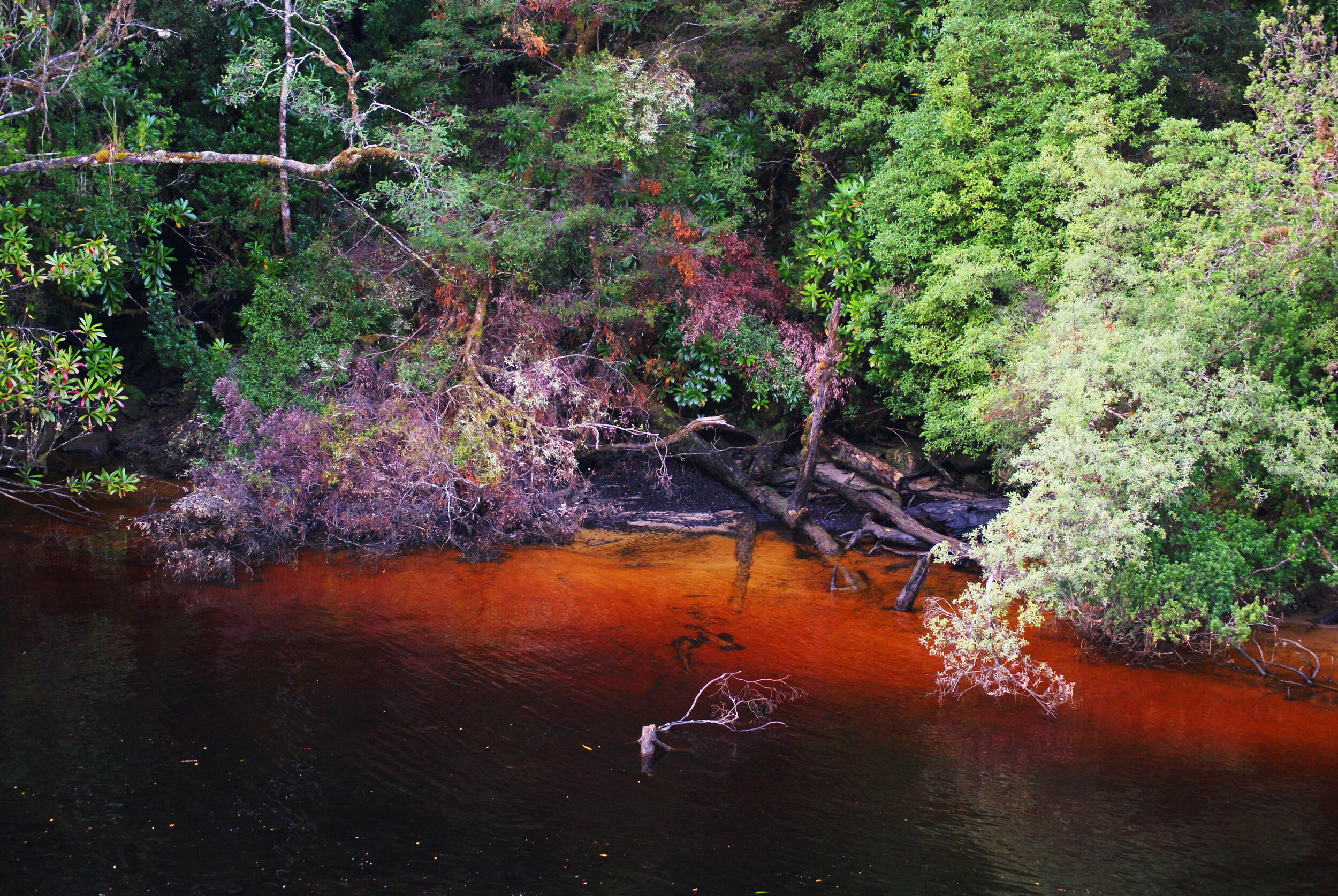
The river often cuts deeply against the grain of the prevailing direction of the mountain ranges, forming spectacular gorges. With the third largest discharge of any river in Australia, the river exerts an enormous influence on the hydrology of Macquarie Harbour, resulting in the brackish nature and tannin-stained colour of its waters.

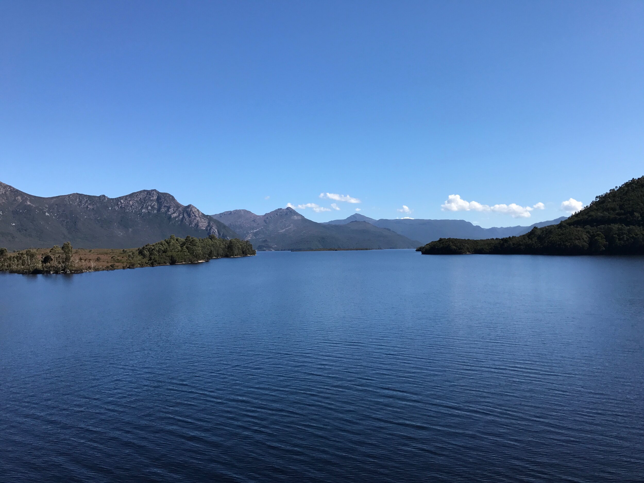
Macquarie Harbour

Along the lower reaches of the river, in-filling with fine sediments has resulted in the formation of levee banks and mud flats and may have forced the river to adopt its present meandering course. The levee banks that line the river between Sir John Falls and Lake Fidler are unique in the southern hemisphere and are of great interest in that they appear to be of very similar composition throughout their length. Such uniformity suggests that they were formed rapidly under a constant regime of deposition of unvarying source material.

West Coast Waterways

Why is the water brown?

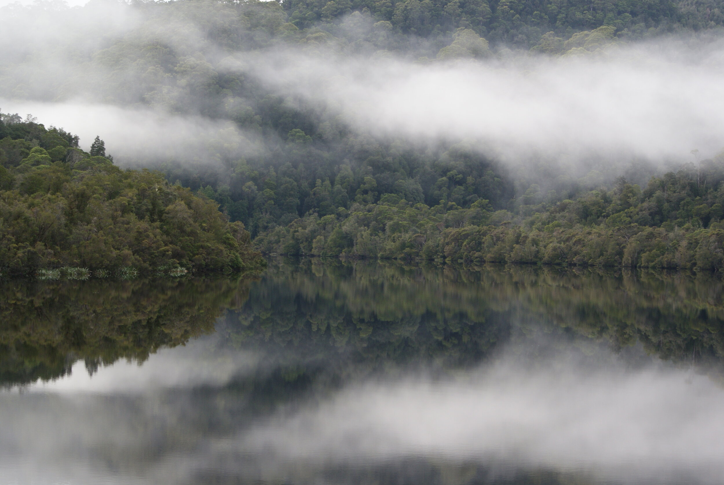
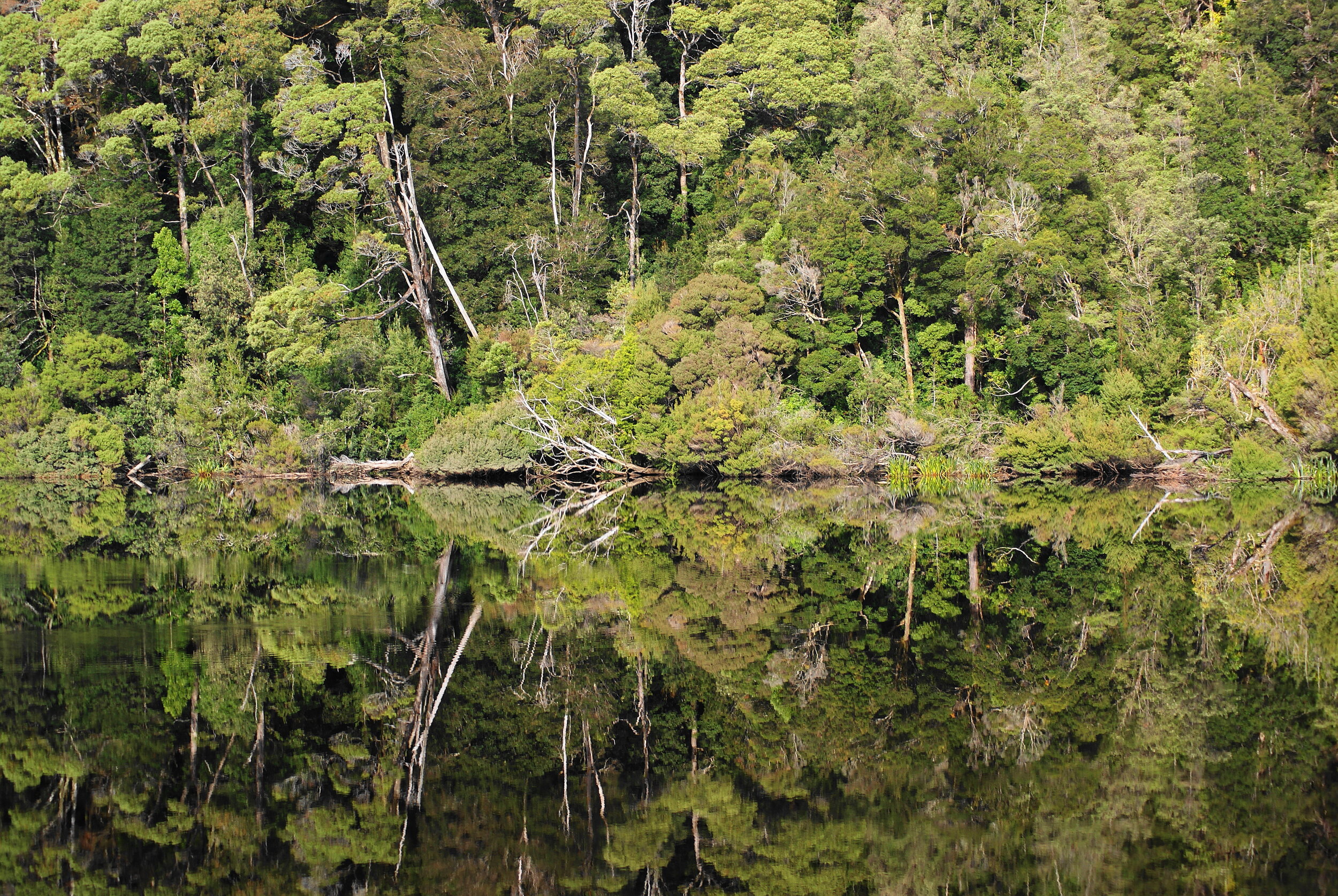
The famous reflections found on the Gordon River are made possible by the dark colour of the water. This dark colouring is a typical feature of watercourses throughout the south-west and is caused by the presence of tannin in the water.

The tannin is leached out of the peat substrate upon which certain vegetation communities (such as buttongrass, tea-tree scrub and rainforest) grow. Peat is composed of organic material derived from these vegetation communities and forms in areas where there is high rainfall and low evaporation. When the tannin stained water tumbles over rapids and waterfalls a froth forms, often giving the appearance of a stream polluted by detergents. This is not the case, and the presence of tannins has no effect on the purity of the water.

Gordon River Reflections

Indeed, Tasmania is very fortunate in the abundance of clean freshwater streams that flow throughout the State. The appearance of the tannin stained water has led some people to believe that the water is poisoned, as this early account suggests:

‘The torrents which pour down the mountains mingle with the decayed vegetable matter, and impregnated with its acids discolour the water of the harbour; and the fish that approach the coast often rise on the waves and float poisoned to the shores.’ (John West 1852)